Safari Planning
A guide to planning your safari to the Okavango Delta
Read More
The Okavango Delta is formed when the Okavango River flows into the Kalahari Desert from the Angolan Highlands forming a unique wetland, a huge oasis setting the regions rhythm with its annual pulses.
There is less than 2 metres variation in height across the delta which leads to the formation of the myriad waterways that make up the delta.
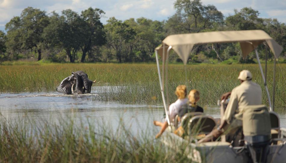
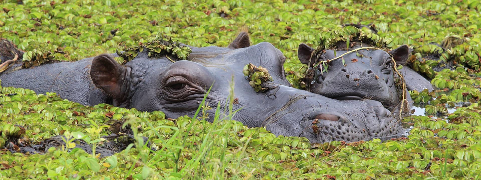
Approximately 11 cubic kilometres flow into the delta each year. The water flows continously into the delta and drains the summer (January to February) rainfall from the Angolan highlands. A surge, that flows 1200 kilometres in a month occurs between March and June. It is during this time that the Okavango Delta is at its largest. Rapid transpiration and evaporation occur caused by the high temperatures in the region result in a cycle of rising and falling water levels. One of the only sources of water during the dry period the Okavango Delta attracts thousands of animals creating one of Africa’s greatest concentrations of wildlife.
Once in the delta water is lost to transpiration by plants (60%), evaporation (36%), percolation into aquifer system (2%) and finally 2% flows out into Lake Ngami.
The islands of the delta mostly start as termite mounds (70%) and often have white patches in there centre where the high salt content of the islands collects.
At the centre of the delta is Chief’s Island, the largest island in the delta and formed by a fault line which uplifed a 70 x 15 km wide area. Abundant in animal life it was once reserved as a hunting area for the chief and now forms a safe respite for the resident wildlife when the waters rise.


Contact us for more information and to start planning your Okavango safari
Contact