Amazing image of the Okavango Delta from space
This NASA image of the Okavango Delta glistening in the sun’s reflection perfectly captures the magic of this oasis in the Kalahari desert.
In this picture you can see the bright light of the Okavango River advancing from the Angolan Highlands towards the tectonic trough which forms the basin of the Okavango Delta in Botswana. A journey of 1,200 kilometres, making it the world’s largest undeveloped river catchment.
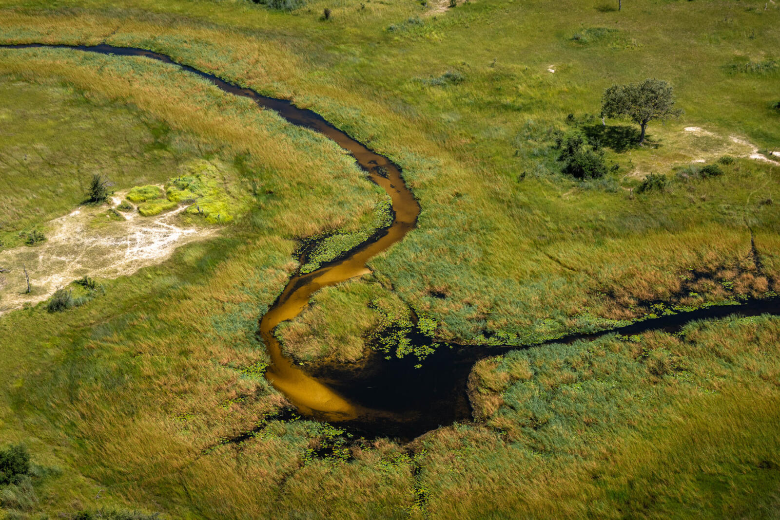
This is one of the planet’s great wetlands, a shimmering network of life-nurturing channels and lagoons amid a severely dry region. It is a rich and varied eco-system and a wet refuge for a myriad of animals, birds, insects and plant life.
The Okavango Delta is one of nature’s great marvels. Every year around 11 cubic kilometres of water is discharged by a great river, not into the sea – but into a desert. These Kalahari sands filter the water giving it a beautiful clear quality. The flow and shape of the Okavango is mainly a result of the geological fault lines created about 2 million years ago during the tectonic activity of the Great Rift Valley.
The Okavango comes to a halt along the southern fault line, visible as the shining perpendicular line at the bottom of the Delta, and disappears along the Boteti river.
To visit the Kalahari as well as the Okavango Delta offers a greater appreciation of just how extraordinary and special this area is. And from a safari point of view, exploring the desert as well as the wetland oasis of the Okavango offers an amazingly varied and interest safari experience.
This incredible image was taken by the Expedition 40 Crew from a NASA space station in July 2014, during the peak of the flood. The image was released just after the Okavango Delta was finally declared a UNESCO World Heritage Site in June 2014. A perfect opportunity to shine the spotlight on this unique wetland wilderness.
Experience the Okavango Delta
Contact us for more information and to start planning your Okavango safari
Contact
